Start by choosing the right Atlas, not just “the mountains”
Morocco’s Atlas is a long mountain system, not one day-trip destination. The High Atlas is the dramatic range south of Marrakech, including the Toubkal massif and the Imlil trail network; the Middle Atlas around Ifrane offers forests and lakes; the Anti-Atlas has a drier, more southerly character. Mount Toubkal, at 4,167 metres, is North Africa’s highest peak, and the High Atlas stretches roughly 750 kilometres. 1
For most first-time visitors near Marrakech, the practical choice is between an Imlil-area stay for walking, Ourika for a closer valley outing, or simply crossing the High Atlas on the road to Ouarzazate. These are not interchangeable. Pick the valley or activity first, then choose lodging and transport around it.
Choose a base that matches your trip
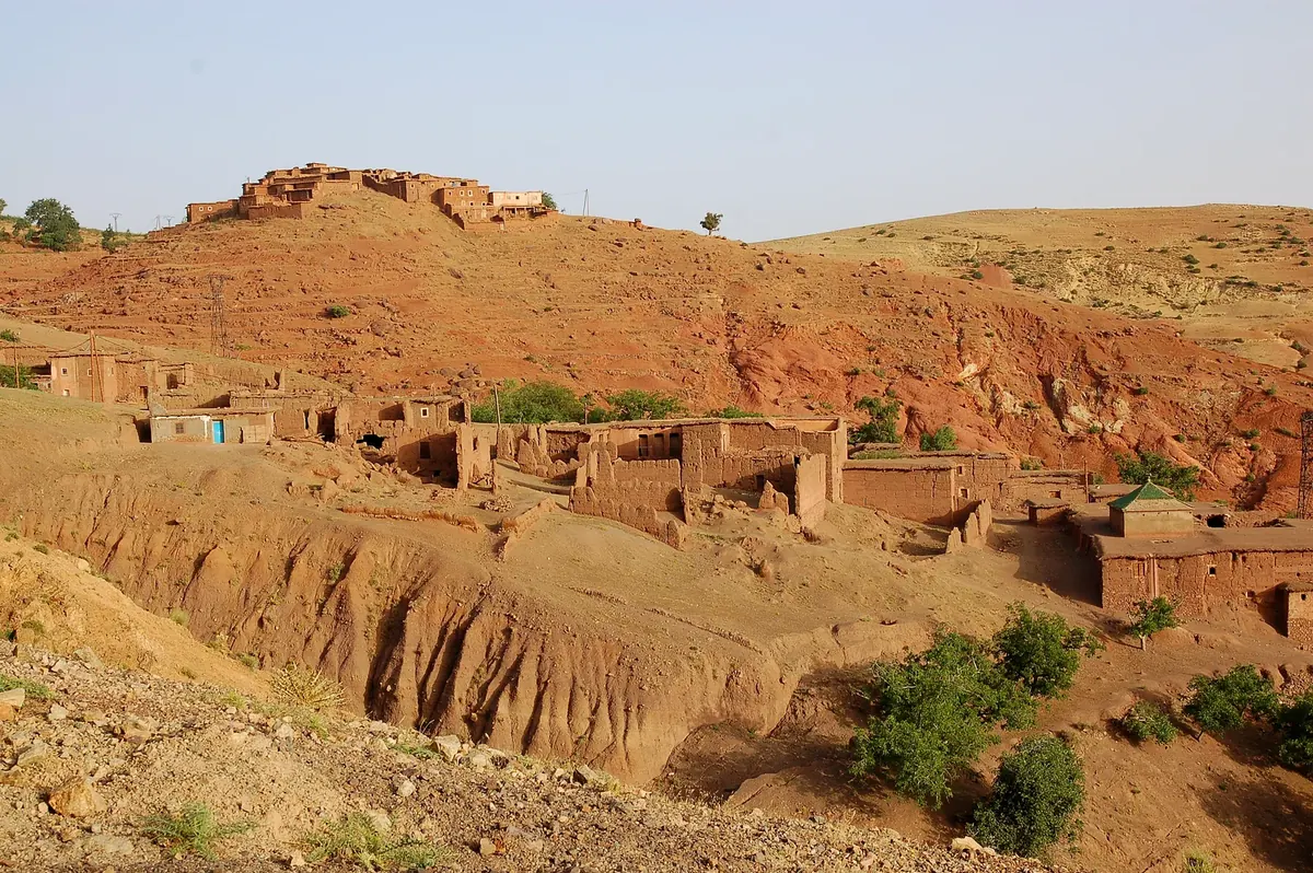
Imlil and the Toubkal area make sense if you want village walks, substantial hikes, or a summit attempt. Imlil is the usual gateway for trails toward the Toubkal massif; a bed here means an early trail start instead of trying to commute from the city. The village itself sits in a lived-in mountain landscape, with orchards, terraces and paths linking nearby settlements. A local guide can turn a walk into a route that fits your pace and conditions. 2 3
Ourika Valley is the more convenient choice for a shorter outing from Marrakech, particularly if the goal is scenery, a meal and a modest walk rather than a summit trek. Setti Fatma is a common starting point for walks toward waterfalls, but the lower village area can be busy. Agree in advance how much walking you want, whether you want a guide, and where the vehicle will meet you afterward. 4
Aït Bouguemez (the Happy Valley) rewards travelers with more time who want rural valley walks and a quieter base. It is farther from Marrakech than Imlil, so it is poorly suited to a quick day excursion; treat it as a multi-night region, not a scenic detour to squeeze between city activities. Official Moroccan tourism highlights the valley’s hiking and mountain villages. 2
Ouirgane is worth considering if you want a gentler mountain stay and lower-intensity walks rather than the Toubkal summit scene. It can be a useful choice for travelers who want a countryside pause without building the whole trip around high-altitude trekking. Confirm the location of the lodging against the actual trail or transport plan; “Atlas view” accommodation can be a long way from the walk you had in mind.
Day trip or overnight?
A day trip can work for a taste of the foothills, a short village walk or a specific Ourika Valley outing. It is a poor format for a summit attempt or for appreciating remote valleys. Road travel, stops and the return drive consume much of the day, and a late start compresses the time available on foot. If you want a proper hike, sleep near the trailhead and begin the walk rested.
For a first visit, two nights around Imlil is a useful planning shape: arrive with enough time to settle in, spend a full day walking, then leave without forcing the hike and the long city drive into one exhausting day. That is an itinerary suggestion, not a fixed requirement; experienced hikers with a specific route may need longer. Insight Guides recommends allocating two to three days for a High Atlas visit, while a one-night stop is mostly a brief taste. 5
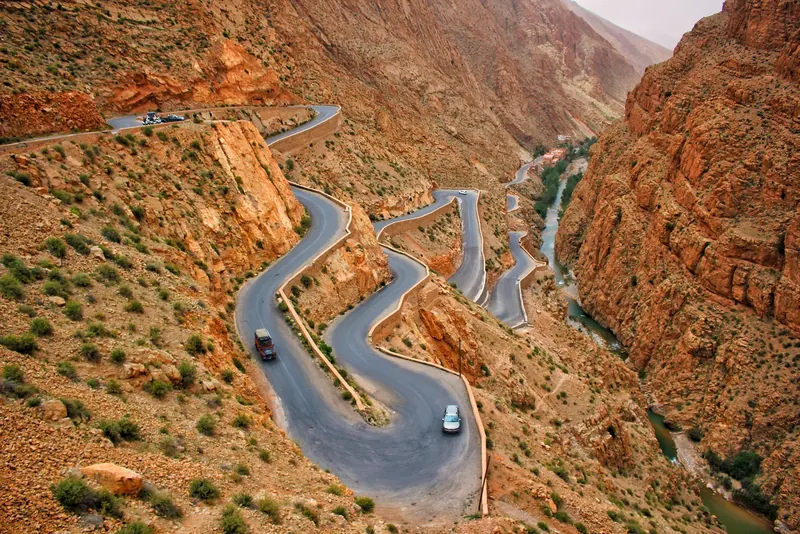
If the Atlas is on the way from Marrakech toward Ouarzazate, consider an overnight on the route rather than treating the crossing as a quick photo stop. Mountain roads are slow and winding; leave margin, especially if weather is uncertain, and do not plan a demanding hike followed by a long drive after dark. For a self-drive itinerary, compare the relevant route and road-driving advice before committing to unfamiliar mountain roads: Driving in Morocco: Rules, Roads and Practical Safety.
Hiking: match the route to ability and conditions
A village walk and a summit climb are different undertakings. Around Imlil, shorter guided walks can connect valleys and nearby settlements without aiming for the high peaks. Longer outings climb steeply toward passes or the Toubkal refuge. Toubkal itself is commonly planned over at least two trekking days from the mountain area; Morocco’s tourism board describes a two- or three-day trek depending on starting point and itinerary. 2 4
Do not judge difficulty by distance alone. Elevation gain, altitude, loose or rocky footing, exposure to sun and a long descent can make a route demanding even when it looks short on a map. If your group includes children, less-conditioned walkers or anyone uncertain about steep terrain, ask the guide to propose a lower route and a clear turnaround point. Families may find this guide useful for broader planning: Morocco With Kids.
For Toubkal, arrange a qualified local mountain guide and confirm current park access expectations with the guide or an established operator before travel. Rules and checkpoint practice can change, and published travel sources have not always agreed about whether requirements are enforced uniformly. Do not rely on old blog posts or assume that a route is open because a map shows a path. Ask who will guide, what credentials apply, the planned route, emergency communications, and what happens if weather makes the summit inappropriate. A guide is also valuable for navigation, local language and adjusting the day to conditions. 3 6
Toubkal’s popular two-day dash is not the only way to experience the range. If you have more time and enjoy walking for its own sake, a circuit or multi-day village-to-village trek offers a slower rhythm; it also demands more days, arrangements and physical stamina. Horizon Guides identifies the longer Toubkal Circuit and the less-visited Aït Bouguemez / M’Goun area as alternatives to the standard summit push. 3 Treat detailed route durations from providers as itinerary examples, not universal timings.
When to go and what weather changes
Spring and autumn are often the easiest seasons to plan for moderate temperatures, but elevation makes the weather highly variable. Wilderness Travel describes April–May and September–October as favorable for Imlil hiking, while noting that winter snow can restrict higher routes and summer valley heat can affect walking. Insight Guides similarly notes that early spring may leave snow on high passes and that winter plans are better focused on lower walks and views. 5 6
Do not turn a “best month” into a guarantee of passable trails. A warm Marrakech forecast says little about a high pass or summit. Before departing, check local forecasts for the actual elevation, ask about snow, wind and recent precipitation, and leave the route flexible. On a hot day, an early start, water, sun protection and an agreed turnaround time matter more than chasing a summit. In cold or shoulder-season conditions, bring warm layers even if the city feels mild.
If a winter visit is primarily for scenery, book a comfortable low-valley base and keep the hike optional. If your priority is a high pass or summit, build in flexibility instead of fixing every transfer and overnight tightly around one weather-dependent day.
Getting there and choosing accommodation
From Marrakech, visitors commonly reach Imlil or nearby valley bases by road. A private transfer gives door-to-door flexibility; shared or local transport can reduce cost but may require coordination for the last leg and luggage. Ask the accommodation where a vehicle can actually reach, whether there is a walk from drop-off, and whether luggage can be carried if needed. Published transfer durations are route-dependent, so verify a current estimate for your exact property and season rather than treating a generic “90 minutes” as a promise. 6
For accommodation, decide whether you value trail access, a quiet rural setting, easier vehicle access or more on-site comfort. Guesthouses and mountain lodges can be simple and atmospheric, but services and access vary. Ask about heating, hot water, meals, dietary needs, luggage storage, stairs, accessible rooms, mobile signal and cancellation terms. If mobility is limited, get specific descriptions of slopes and steps; “in the village” does not mean level or vehicle-accessible.
Book a guide and overnight stay directly with clear written inclusions. Confirm whether meals, transport, mule support, refuge lodging, park-related arrangements and equipment are included or separately charged. A tour headline can omit important costs and responsibilities; compare what is actually provided rather than only the itinerary title. For broader package-checking advice see Morocco Travel Packages: How to Compare Tours, Drivers and Inclusions.
A practical packing and conduct checklist
Wear sturdy shoes with grip for uneven paths, carry water and sun protection, and bring a warm layer and rain protection even when the lowlands are pleasant. For a summit or multi-day trek, ask your guide what technical clothing, sleeping equipment and food are needed for the specific season and overnight plan. Do not assume a day-hike outfit is enough above the refuge.
Carry some cash for rural purchases and confirm whether a card or mobile connection will work at your lodging. Download offline maps as a backup, but do not treat a phone map as a substitute for route knowledge in poor visibility. Tell someone where you plan to walk and when you expect to return. Choose a realistic route, stay with your guide or group, and turn around if conditions or energy deteriorate.
Villages are homes, not scenery arranged for visitors. Ask before photographing people, respect privacy around houses and farms, and follow a guide’s advice about appropriate access. Hiring local guides and using local accommodation can keep parts of the trip rooted in the mountain communities you came to experience.
If arranging the pieces feels complicated, the Personal Travel Assistant service can help coordinate planning and questions for $20 per inclusive Morocco calendar day; transport, lodging, meals and activities are independently provided and charged by their providers.